MGeoS Services
can include but are not limited to:
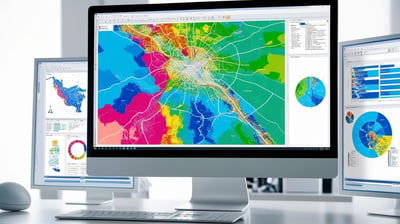
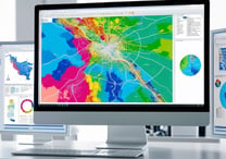
GEOINT Systems and Products
Use of GEOINT in Hazards and Emergency Management through the use of remote sensing and GIS before, during and after disasters
Creation of GEOINT Products, Systems, and Platforms
Scripting and programming of GEOINT algorithms
3D GIS Processing
3D visualization aids
3D building vectorization using LiDAR data
3D modelling using QuickCapture
Incorporating LiDAR Data in Maps
Project management and point resolution of LiDAR data
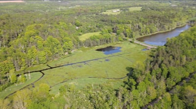
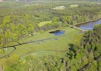
Hydrological Applications of LiDAR data
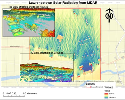
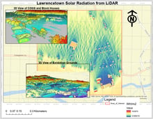
Locating Solar Panels using LiDAR data
Accuracy assessment of LiDAR data
Cartographic modelling
Flood and water level prediction
Geospatial Data from Drones
Drone mapping and survey planning using ArcGIS Drone2Map
Basic and advanced drone flight planning
Familiarity with Canadian Drone regulations
Geospatial Data from Satellites
Satellite image interpretation
Multispectral image interpretation
Image enhancement
Image orthorectification
Remote sensing data processing and interpretation
Analysis and interpretation of Spectral Aperture Radar (SAR) imagery
SAR interferometry interpretation


Geospatial Analytics
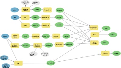
Geoprocessing model building
Creating and maintaining Geodatabases
Suitability analysis
Spatial database management
Multi-criteria evaluation
McBean Geospatial Solutions
Mapping the Future, One Solution at a Time
Feel free to use the form below or email: mcbean.geospatial.solutions at gmail dot com
© 2025. All rights reserved.